 CIOOS supports your research efforts from planning through archiving with its open data platform. Discover existing datasets, plan how your work can fill a niche, and contribute to the state of ocean knowledge as results come in. CIOOS helps you meet open data requirements of funding agencies through data management, data preservation, and metadata cataloguing. Gain recognition for your efforts and collaborate with others in your region and around the world.
CIOOS maximizes your data’s value by facilitating open access to all Canadians. Contributing to our integrated approach will help you reach beyond discipline specific data initiatives and government channels, improve transparency for your stakeholders, and support essential decisions for ocean management.
access to all Canadians. Contributing to our integrated approach will help you reach beyond discipline specific data initiatives and government channels, improve transparency for your stakeholders, and support essential decisions for ocean management.CIOOS is committed to working respectfully and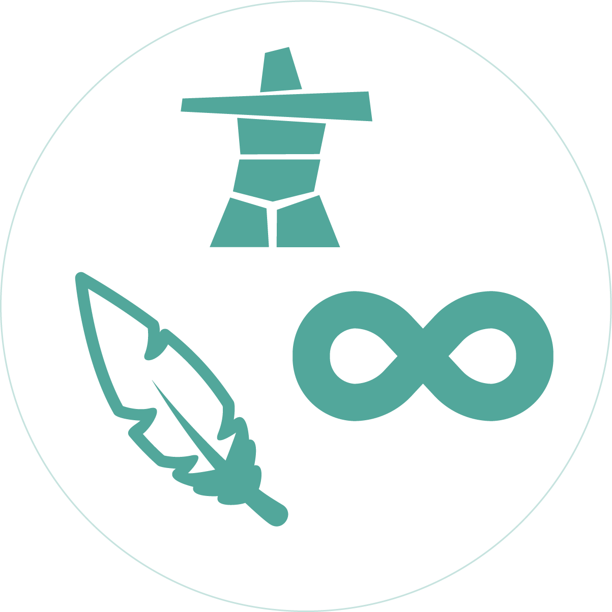 meaningfully with coastal Indigenous communities to learn how we may support stewardship efforts. We hope to explore the potential for collaboration and partnerships to achieve our shared ocean observing goals.
meaningfully with coastal Indigenous communities to learn how we may support stewardship efforts. We hope to explore the potential for collaboration and partnerships to achieve our shared ocean observing goals.CIOOS is your resource for actionable ocean data to meet your operational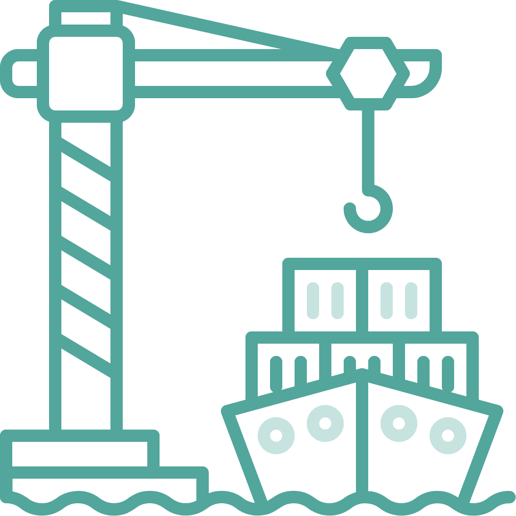 needs. Our platform can save time and money by helping you discover relevant coastal and ocean monitoring initiatives and develop cross-sectoral partnerships. Collaborate with others and demonstrate your commitment to social corporate responsibility by sharing your available ocean observing resources with all Canadians.
needs. Our platform can save time and money by helping you discover relevant coastal and ocean monitoring initiatives and develop cross-sectoral partnerships. Collaborate with others and demonstrate your commitment to social corporate responsibility by sharing your available ocean observing resources with all Canadians. CIOOS provides access to common data sources that facilitate greater transparency, evidence-based decision-making, and improve your organization’s management efforts. Join the open data movement that supports integrated approaches to coastal and ocean management by contributing to CIOOS.
CIOOS makes it easy for ocean researchers to share data in one place. Now,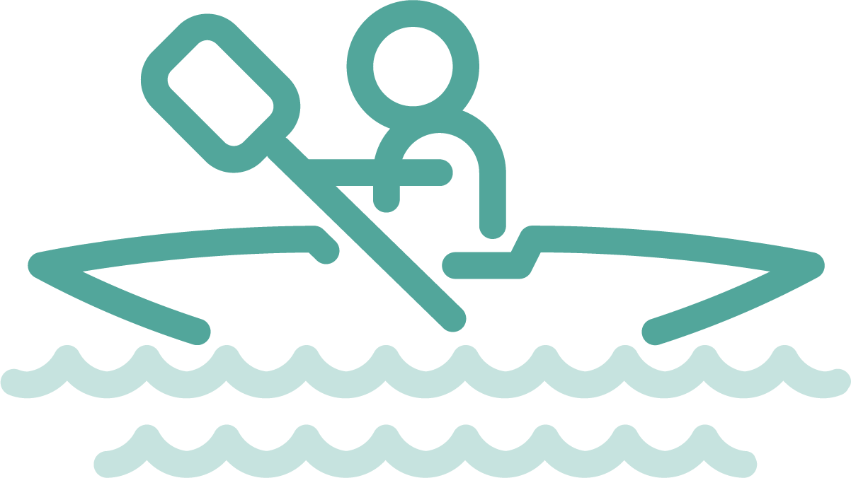 recreational ocean users from swimmers, to kayakers and fishers can use our online platform to plan their day on the water. Explore CIOOS’ tools and visualizations to learn about Canada’s coasts and oceans. As we come together, everyone benefits.
recreational ocean users from swimmers, to kayakers and fishers can use our online platform to plan their day on the water. Explore CIOOS’ tools and visualizations to learn about Canada’s coasts and oceans. As we come together, everyone benefits.
19
July
2022
26
April
2022
01
June
2021